

Subscribe now for unlimited access.
$0/
(min cost $0)
or signup to continue reading
THE Hastings teetering on the edge of level 4 water restrictions and many rural districts of New South Wales battling the scourge of an extended 'big dry' is in stark contrast to the devastation experienced this time 12 months ago, when the region was inundated by its worst flood in more than 30 years.
Hastings residents awoke on February 23 to a scene of utter devastation. Floodwaters from a perfect storm that saw more than 415mm of rain dumped across the region in less than 24 hours had infiltrated their homes and businesses and left riverside communities isolated and without ready access to supplies.
|
Two tropical low pressure systems battering the region in succession between Australia Day 2013 and for the first three weeks of February, saw every major river system in the area including the Hastings, Maria River and Camden Haven flood.
The waters inundated low-lying parts of the Port Macquarie's CBD, Westport, Hibbard Drive and the North Shore.
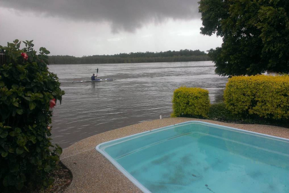
At the height of the flooding, the Hastings River peaked at an astonishing 10.99 metres at Kindee. 7.2 metres at Wauchope and 1.72 metres at Settlement Point - some of the highest river readings since 1963.
Today, the effects of the February flood can still be seen.
Rocks Ferry Reserve at Wauchope was decimated with picnic tables ripped from their footings, large sheets of bitumen peeled off the ground, trees uprooted and debris strewn for hundreds of metres.
There were the local businesses who battled to save their livelihood as waters rose quickly along the banks of the Hastings River and swelled into Port Macquarie's harbour area and low-lying streets in the town centre.
And then there were the residents along Settlement Point Road and the North Shore who have lived through flooding many times before, but were shocked by the impact and fury of the February deluge - a one-in-35-year event and the worst recorded since 1978.
For the NSW SES Mid North Coast operations centre and its volunteers, emergency services and Port Macquarie-Hastings Council's emergency response team, the flood and the subsequent clean-up was one of their greatest challenges for some time.
One year on, the lessons learned from the disaster zone and practical applications put in place as a result, will place the region in a better position in terms of emergency response and community action.
NSW SES Mid North Coast region controller Stephen Hart said while people living in flood-risk areas are aware of the risks, it is imperative they have a strategy in place to mitigate those threats when the time comes.
The SES has been working directly with at risk residents over the last 12 months to ensure they have the knowledge and tools in place to be flood-ready.
A glance back at 2013
"It is important that people in flood risk areas are aware of the consequences of flooding by having an understanding of the potential impacts of river heights on their property, have a written flood plan in place with river height triggers for implementing actions, maintain a home emergency kit and they never enter or drive through flood water," Mr Hart said.
Despite the below average rainfall experienced this year, Mr Hart stressed that flood preparedness will be the point of difference at the next major flood event.
IN the aftermath of the February 2013 flood emerged incredible stories of resilience and community spirit. Here is a snapshot of some of the stories that unfolded over the weekend of February 23-24:
* NSW SES and Rural Fire Service volunteers from across the Mid-North Coast were stretched to the limit. Crews took part in eight major flood rescues and attended more than 200 call outs for falllen trees and sandbagging.
* Three rescues were deployed for cattle caught in floodwaters in the Hastings River while five critical evacuation rescues were activated for North Shore residents.
* The cable on the Settlement Point ferry snapped while the Hibbard ferry service was suspended isolating residents on the North Shore for several days.
* SES and RFS volunteers delivered 31 food parcels, including bread, milk, fresh fruit and vegetables, to stranded residents thanks to donations made by Food For Less.
* Two hundred residents, evacuated from their homes along Settlement Point Road and other low-lying riverside locations, used the Port Macquarie Panthers makeshift evacuation centre.
* Blackouts and flooding in Port Macquarie's CBD saw several businesses inundated, particularly along Short Street, and unable to trade for several days.
* Tonnes of debris, including hundreds of oyster racks, were sucked out of the mouth of the Hastings River and into the ocean. For several weeks, debris washed ashore between Town Beach and Lighthouse Beach, with Port Macquarie-Hastings Council deploying tractors to remove the rubbish.
* The floods wrecked the local oyster industry wiping out more than $500,000 in stock and infrastructure.
* Port Macquarie-Hastings Council estimated more than $1 million in damage to public infrastructure along more than 16 riverside sites. The worst impacted was Rocks Ferry Reserve at Wauchope.
* A further 12 bridges and causeways suffered extensive damage. An estimated $250,000 worth of gravel replacement costs and unsealed road segment repairs.
* Acting Govenor-General Marie Bashir pays a visit to the flood-damaged region after it is declared a natural disaster zone.
